ADMIRALTY
Vector Chart Service
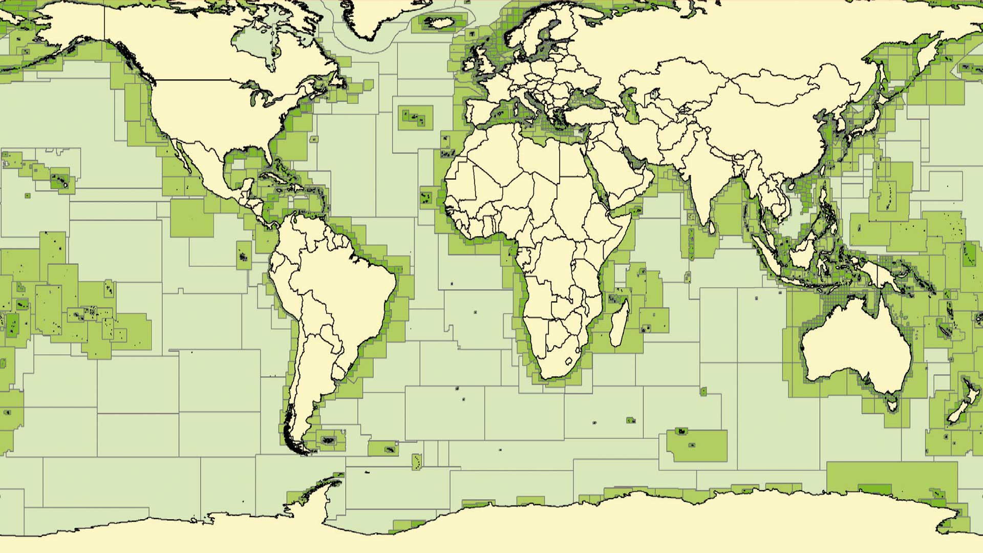
The ADMIRALTY Vector Chart Service (AVCS) is the world’s leading official digital maritime chart service, with around 18,000 official Electronic Navigational Charts (ENCs) to help bridge crews navigate safely and efficiently whilst meeting flag and port State requirements.

Navigate safely and efficiently
AVCS helps to keep your ships compliant with Flag and Port State Authorities.
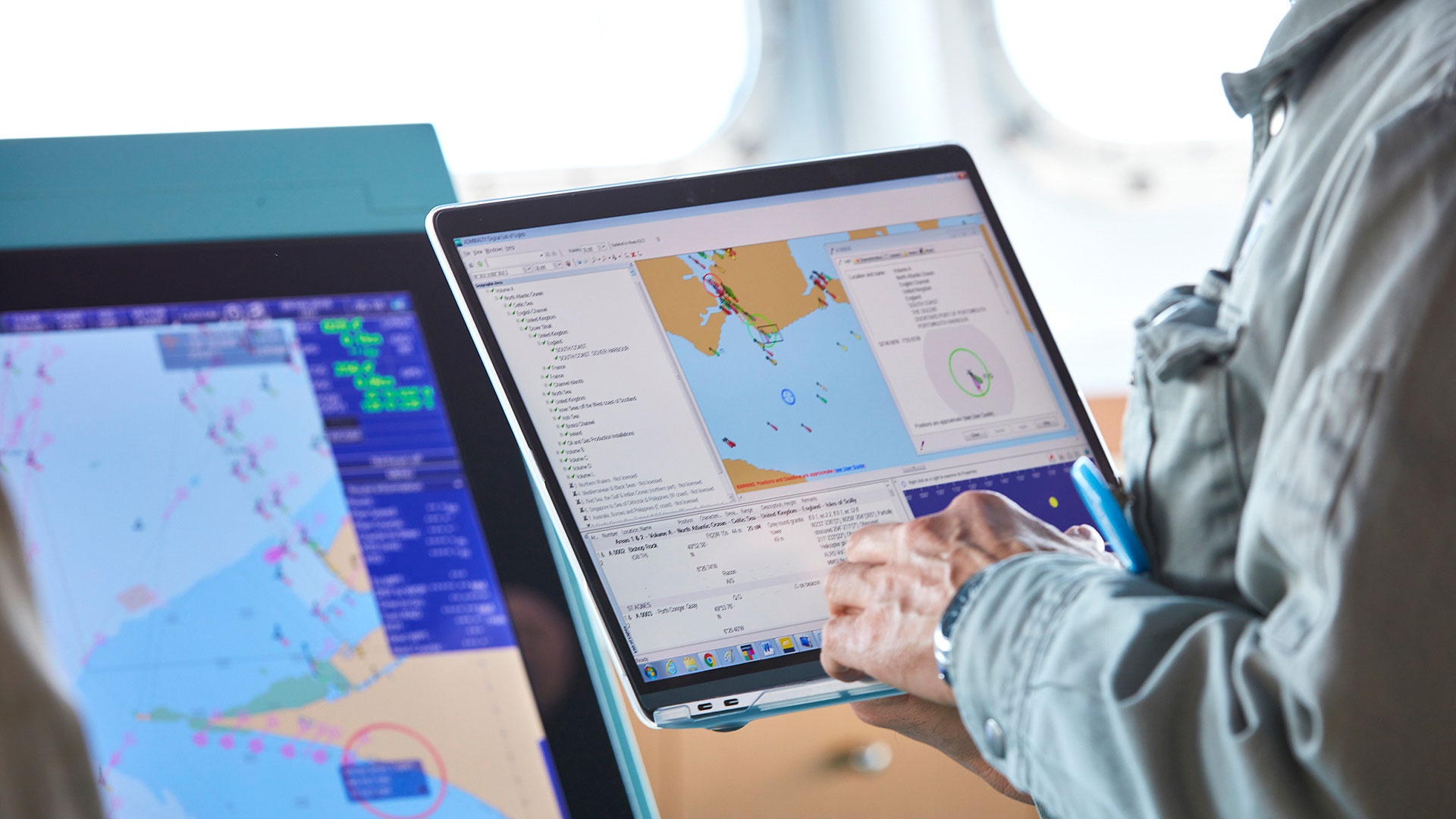
Capitalising on the UKHO’s expertise and position as a leading provider of nautical paper charts, AVCS also incorporates the unique AIO, helping to simplify passage planning.

The widest official coverage
AVCS provides the widest carriage-compliant coverage,
allowing ships to navigate on ECDIS for the entirety of most major routes on a single chart service. AVCS also includes over 4,000 of the biggest and busiest ports, terminals and fields worldwide, of which we offer unique coverage for over 100.

Weekly updates
All AVCS customers are supplied with weekly updates via internet download, email or disc - ensuring that bridge crews and shore-based teams have access to complete and up-to-date information. Reduce time, human error and effort spent making manual updates to paper charts and help to ensure compliance with Flag and Port State requirements.
ADMIRALTY Vector Chart Service (AVCS) resume
- Global maritime ENC coverage with more routes and ports than any other competing service
- Unique ADMIRALTY Information Overlay (AIO) for additional passage planning information
- Weekly updates available via email, online or on DVD to ensure ongoing safety and compliance
- Delivered in industry standard S-63 / S-57 formats, guaranteeing compatibility with all ECDIS sold today – even in a mixed fleet
ADMIRALTY Vector Chart Service (AVCS) cannot be purchased online. For further information contact us:


 EUR (€)
 USD ($)

 Dutch
Dutch  French
  German
  Spanish


